
Walk a Wayne County Street Record
Address-keyed records make the Wayne County street directory useful for a full street or a small segment. They do not produce a verified roster of people who live there. The Treasurer and map systems identify parcel candidates. Municipal assessment records add local property context. The Register of Deeds adds recorded parties and instruments. A historical directory can place a named household at a house number in a particular year. Each result needs its own date and relationship label, especially in multi-unit buildings where a street match does not identify a unit occupant.
- Write the house number, directional, street name, suffix, unit, municipality, state, and ZIP as separate fields.
- Search the Treasurer by street or parcel to identify candidate property records.
- Open county or municipal GIS and save the parcel ID, returned address, and relevant map layer.
- Compare the local assessor record and Wayne County Land Records index for recorded-instrument clues.
- Use Michigan Vote only for lawful individual status questions, or make a defined QVF request through the formal state process.
- For a past address, compare year-specific street or criss-cross directories with deeds, maps, and other dated evidence.
Note: The address first approach reduces false matches caused by common names, mailing addresses, and large buildings.
Normalize Wayne County Street Addresses
Use five core parts before querying a Wayne County street directory: house number, directional or prefix, street name, street type or suffix, and unit. Then record municipality, state, and ZIP. Detroit’s official address guidance says that some searches work better without St, Dr, or Ave, and that address and parcel should not be combined in the same Accela attempt. A deed’s legal address can also differ from the commonly used address. Preserve the exact input that produced a result instead of silently changing it.
The property record may include a parcel ID with local punctuation rules. The search result can use a postal city that differs from its legal municipal field. If a street has a historic spelling or a changed numbering pattern, search the printed historic form in directories and maps before matching it to a modern property. Wayne County research did not locate one official countywide renumbering chronology, so a claimed conversion should not be invented.
Wayne County Treasurer by Street
The Wayne Treasurer Property Tax Information Search is an address or parcel route for delinquent-property information across county municipalities. It can help build the Wayne County street directory parcel list, but its result is tax context and not certified title or a statement about who occupies the address. Its partial-input design is useful when a street spelling is uncertain. A blank municipality searches across available municipalities, while a chosen municipality narrows the result set.
| Field | Required status | Wayne County search behavior |
|---|---|---|
| Street Number | Optional text | Enter first digits or leave blank to broaden a street result. |
| Street Name | Required text | Use the first three or more letters; omit Street or Avenue to broaden. |
| Municipality | Optional dropdown | Select a city or township when known, or search all available municipalities. |
| Parcel ID | Required in parcel mode | Detroit uses a period or dash at the ninth digit; non-Detroit IDs use 14 to 16 characters without spaces or dashes. |
Search results should be labeled as tax records and checked against the local assessor and recorded documents before they are used in a street-by-street timeline.
Wayne County Street GIS Selection
County GIS supports the map stage of a Wayne County street directory. Wayne County ParcelViewer exposes map services for parcel data, while the county maps entry offers layers for parcels, roads, parks, and related geography. Zoom, pan, and selection can show which parcels lie along the street. The selected parcel must then be independently checked against the assessor and land-record index. An adjacent parcel is not an occupant list.
The official ParcelViewer service directory shows the county map-service route used for parcel candidates.
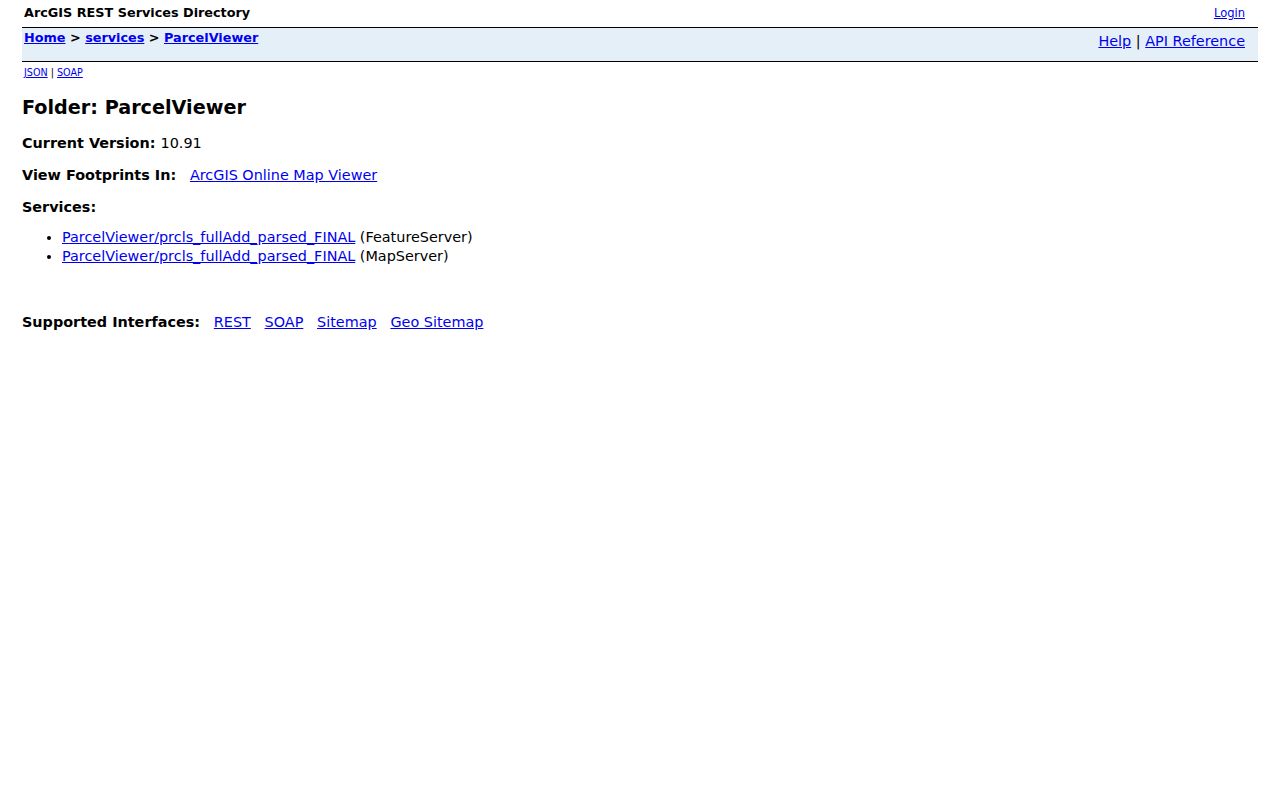
The map service supports address geography and parcel selection, while record custodians control ownership and current assessment confirmation.
Wayne County Street Directory Map Layers
Detroit addresses have a municipal map alternative within the Wayne County street directory process. The Detroit Parcel Viewer searches by street address or parcel ID, then opens a parcel sidebar. The documented view can show property address, parcel ID, taxpayer or owner, taxpayer address, zoning, and council district. It also has imagery-date and satellite options, plus layers for public assets, city-owned parcels, parks, DLBA, structures, vacant lots, auctions, and other city programs.
Detroit Parcel Viewer illustrates the address-or-parcel search and selectable map layers.
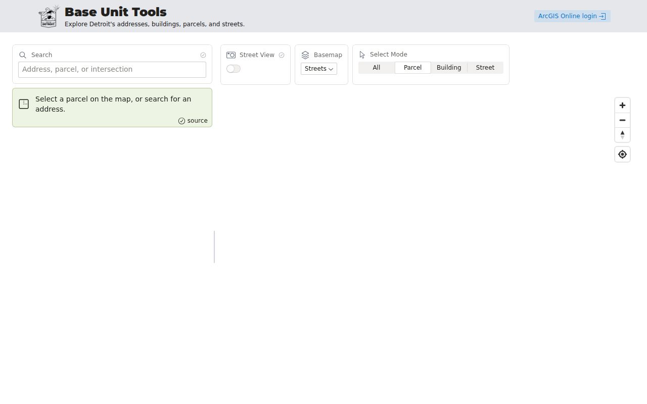
A viewer field may identify a taxpayer or owner, but that role should not be recast as a current resident without independent, lawful evidence.
Wayne County Street Records by Address
The record types below show why the Wayne County street directory is a chain rather than a single database. A property search establishes parcel and tax context. GIS establishes map context. A deed index establishes recorded parties and document details. Municipal case or permit systems can establish a property-related filing. City directories are historical listings. Voter routes are governed by defined state access rules and protected-field limits. None should be treated as a general current household register.
| Address-keyed record | What it shows | Wayne County keeper | Access route |
|---|---|---|---|
| Delinquent tax record | Parcel and tax context | Wayne Treasurer | Free address or parcel search. |
| Parcel map | Parcel geometry, roads, and selected attributes | County GIS or municipal viewer | Interactive map or REST map service. |
| Current assessment | Local assessment and property fields | Municipal assessor | Local office or portal; Detroit links to BS&A. |
| Recorded instrument | Grantor, grantee, legal description, date, instrument number | Register of Deeds | Land index and copies; online copies from 1960. |
| Addressed municipal case | Violation or permit-related case fields | Detroit DAH or BSEED route | Portal or local custodian, where applicable. |
| Historical directory | Person listed at a house number in a year | Library or archive | On-site, microfilm, or collection route. |
Note: Carry the parcel ID and exact record date between these sources because their search labels are not identical.
Wayne County Street Parcel to Deed Trail
Once a parcel candidate is confirmed, move to the Wayne County Register of Deeds index. The index can be searched for recorded instruments and copies dating back to January 1, 1960. The county’s older land records may exist in office or archival holdings even when the online image route starts later. A deed chain should retain grantor and grantee, instrument date, recording date, instrument type, document number or liber and page, legal description, parcel ID, and transfer notation when shown.
| Parcel | The map and assessment identifier that locates the property. |
|---|---|
| Situs address | The physical property address; it can differ from a mailing or legal description field. |
| Plat | A recorded map showing lots, blocks, streets, or subdivisions. |
| Criss-cross directory | A historical directory arranged by street and house number. |
A land-record party is evidence of a recorded transaction. It is stronger for title history than a tax line, but it still does not establish every person present at the address.
Wayne County Street Case Leads
Detroit BSEED guidance documents address fields for Street No, Street Name, Direction, Street Type, Unit Type, Unit No, City, State, ZIP, and Parcel Number. It advises beginning with Street No and Street Name and leaving other fields blank where appropriate. Attachments are reached from Record Details. This is useful when a Wayne County street directory search needs a specific property-related record, not a person profile. Research did not locate a complete public permit-history result capture or full coverage dates, so the municipal portal should be checked live.
Detroit DAH searches by a DAH ticket number without dashes, or by violator last name or business plus violation street number and street. Its results can include case, hearing, code, inspector, fine or judgment, notes, and disposition history. A case field must keep its stated role and date. It does not establish ownership, residence, or an identity match on its own.
Wayne County Street Postal Fields
A postal city and ZIP are not the same thing as a legal municipality. A Wayne County street directory search should retain both the postal city and ZIP and the parcel or assessor municipality. This matters in township, Downriver, Grosse Pointe, and Detroit-area research, where post-office coverage can cross city or township lines. The Treasurer is address and parcel based, not a ZIP directory, even when its result contains a ZIP field. A legal municipality determines the proper local custodian, while a post office controls delivery labels.
Use the USPS ZIP Lookup to test deliverability by address, city and state, or city by ZIP. USPS states that a ZIP match does not confirm a person or company. Its current City State Product updates monthly, so a postal answer should be dated. The parcel municipality remains the better clue for the proper assessor, tax, court, or local-clerk route.
Wayne County Historical Street Listings
Historical street research benefits from criss-cross and city directory pages, but those collections belong to a particular place and year. Detroit Public Library’s Burton Historical Collection holds Detroit city and telephone directories, maps, newspapers, and local-history material. A street entry can identify a head of household or a subscriber at a house number and may include relocation clues. Compare the exact street spelling, adjacent numbers, and prior and next years. The result is a dated listing, not a complete household statement.
Where a street question becomes a past-household question, use the Wayne County city directories collection route for the documented Detroit years, Polk and Bresser formats, and Burton access details. Pair a directory with a deed, census, newspaper, probate, or map only when the date, address, and identity align. Sanborn maps show buildings and use, not people.
Note: Preserve historical number and street-name variants before comparing them with a current parcel record.
Wayne County Street Record Fallbacks
When a map does not provide the needed record, use the custodian that holds the next link in the chain. Current assessment and value questions belong with the local assessor. The Register of Deeds offers its land-record index online around the clock, with walk-in and mail searches for a fee; its fee notice says phone and fax searches are not offered. County annual assessment data is retrospective, so it should not replace a municipal current-data check. Older recorded material can need office or archive routing.
For an existing county record outside a normal portal, send a focused written request that names the record, address or parcel, date range, and format. Wayne County accepts general requests through its listed channels, and Michigan FOIA normally provides five business days for a response with one possible extension of up to ten business days. A request can seek an existing record, but it cannot require an agency to build a new street roster or resolve an identity claim from unrelated sources.
Wayne County Street Directory Limits
A map cannot reveal who occupies every address on a street. Adjacent addresses do not identify households. A parcel map is not title, a tax owner is not necessarily the current deed owner, a taxpayer mailing line is not an occupant, and a historical directory is not a complete household. Public voter routes have defined scope and redactions. A street match in a multi-unit building cannot identify a unit without directly relevant, lawful evidence. Court and municipal case records also describe an event or a party role, not a general resident identity.
Michigan’s Address Confidentiality Program and protected voter fields create intentional gaps. If an address appears protected or a public field would expose a sensitive detail, stop and consult the custodian. A negative search should be logged with the portal, date, exact query, and known coverage limit rather than treated as proof of absence.