
Wayne County ZIP Code Coverage
Wayne County has a wide mix of Detroit, Downriver, western, township, and Grosse Pointe postal associations. The Michigan Manual’s post-office table is a useful coverage starting point, but an exact address still needs USPS confirmation. The table groups associations from the research rather than promising that a postal name is a legal boundary. A postal label can serve more than one municipality, and a city or township can use several ZIP codes.
| ZIP | Areas covered | Post office | Notes |
|---|---|---|---|
| 48101 | Allen Park | Allen Park postal label | Verify the full street address with USPS. |
| 48120, 48121, 48123, 48126, 48128 | Dearborn | Dearborn postal label | Multiple ZIP associations serve the city. |
| 48125, 48127 | Dearborn Heights | Dearborn Heights postal label | Check the address-level result. |
| 48201-48202; 48204-48211; 48213-48217; 48219; 48221-48224; 48226-48228; 48231-48235; 48238; 48242-48288 | Detroit | Detroit postal label | Large, non-contiguous range; an individual lookup is necessary. |
| 48150, 48152, 48154 | Livonia | Livonia postal label | ZIP selection varies by address. |
| 48170, 48188 | Plymouth City and Township | Plymouth postal label | Postal coverage crosses the city and township distinction. |
| 48230, 48236, 48237 | Grosse Pointe City, Farms, Park, Woods, and Township | Grosse Pointe postal labels | Five separate legal jurisdictions can share postal naming. |
| 48111, 48184, 48187, 48188, 48189 | Van Buren Township | Multiple postal associations | Postal boundary can cross county or city labels. |
| 48192, 48193 | Riverview and nearby Downriver coverage | Riverview postal association | Shared regional coverage requires a full-address check. |
| 48185, 48186 | Westland | Westland postal label | Verify exact address and ZIP+4. |
The Michigan Manual post-office table is the source for the association ranges. It lists many more Wayne County pairings, including Brownstown Township, Canton Township, Huron Township, Northville, Redford Township, Sumpter Township, Taylor, Trenton, Wayne, Woodhaven, and Wyandotte. Keep the output dated because postal assignments can change.
Wayne County Printable Maps is the official entry point for the county ZIP map.
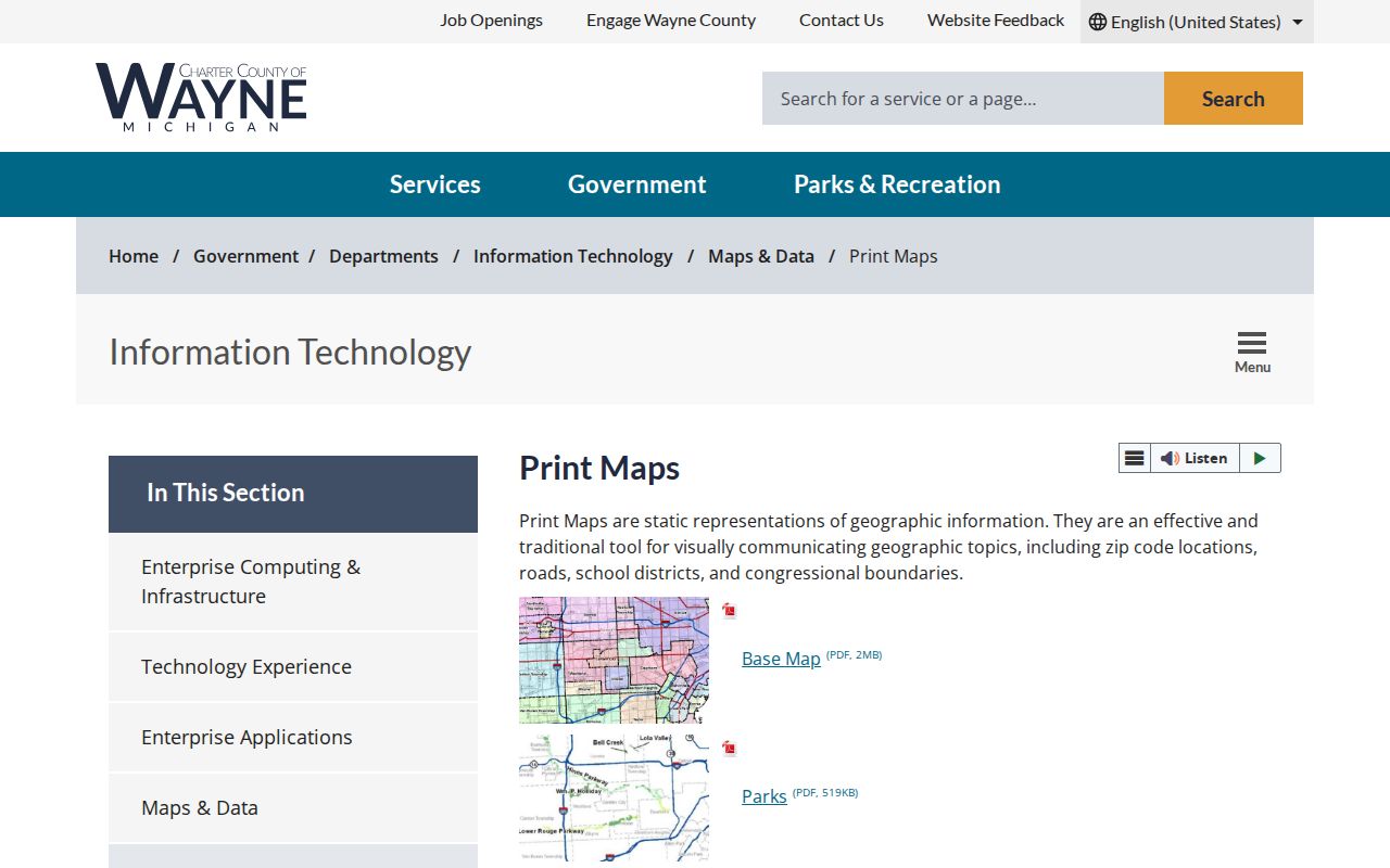
The county page links to the ZIP map, but the research did not capture a stable current PDF asset URL, so the live entry page is the safer citation.
USPS Fields for Wayne County ZIP Codes
The USPS ZIP Lookup is the address-level delivery tool. It has three modes: By Address, By City and State, and Cities by ZIP. In address mode, Street Address, City, and State are required. Company, Apt/Suite/Other, Urbanization Code, and ZIP are optional as the search form allows. City-and-state and ZIP results can paginate, so copy the exact response associated with the full address rather than a broad city label.
| Street Address | Required in By Address mode; enter the delivery address rather than a person’s name. |
|---|---|
| City and State | Required in address mode and used for the city-and-state search path. |
| Apt/Suite/Other | Optional field that can distinguish a unit where it is part of the delivery address. |
| Company and Urbanization | Optional fields in the documented USPS form. |
| ZIP and ZIP+4 | Use a supplied code to refine or validate the address-level response. |
USPS warns that a ZIP match does not confirm a person or company. That warning matters for a ZIP code directory: the result establishes a delivery association, not occupancy, ownership, identity, or a government jurisdiction.
Note: Preserve the access date and the exact address form used, since ZIP+4 and postal routing can change at the address level.
Use a Wayne County ZIP Code Directory
Postal research works from precise delivery details toward the legal record system. A broad ZIP may narrow an area, but Wayne Treasurer is an address-or-parcel tool, not a ZIP directory. Its address path accepts an optional street number, a required street name of at least three letters, and an optional municipality. Use it after the postal lookup identifies the address to be checked. County GIS and the local assessor then help confirm the parcel and municipality.
- Run USPS By Address with street address, city, and state, then save the ZIP and ZIP+4 returned.
- Use Cities by ZIP or City and State only to compare postal labels, not to make a person list.
- Check the local parcel, assessor, or county GIS record to identify the legal municipality and parcel context.
- Use the Wayne Treasurer address or parcel path only for its delinquent-property scope, then verify title through the Register of Deeds if needed.
- For a defined civic dataset, use the QVF FOIA form’s lawful geography options rather than treating a ZIP as a voter boundary.
Once the postal area is narrowed to a named street, the Wayne County streets reference provides the address-keyed record path. The crucial distinction remains: a parcel or tax result can name an owner or taxpayer, not necessarily a current occupant.
Wayne County Postal and Legal Fields
A ZIP code is a delivery area, not a municipal boundary. A Detroit legal municipality can have a postal-city label or ZIP that looks like an adjacent community. An unincorporated township address can use a neighboring post office. The reverse can also happen: a postal association can span communities that have separate assessors, clerks, and court routing. Keep `postal city/ZIP` and `legal municipality` side by side in research notes.
This distinction prevents wrong-custodian searches. The municipality shown by the parcel or tax record determines which assessor and local clerk apply. The postal city is still useful for USPS delivery. County tax, court, and assessor fields follow government jurisdiction. Never let a ZIP or postal name choose the records office by itself.
Wayne County ZIP Code Terms
Postal vocabulary is useful only when it stays separate from person and parcel claims. USPS standardizes delivery information, while a local assessor maintains the current municipal property record. The same address can carry a ZIP, ZIP+4, parcel identifier, legal description, and voter precinct, each created for a different purpose.
- ZIP code
- A five-digit postal delivery code associated with an address or postal area.
- ZIP+4
- An added four digits that refine mail routing for a more specific delivery segment.
- PO-box ZIP
- A postal code used for post-office-box service rather than a claim about a street address or resident.
- Unique ZIP
- A ZIP assignment for a single large recipient or organization, not a municipality boundary.
- Carrier route
- A postal delivery sequence used for mail routing; it is not a legal jurisdiction or resident list.
USPS confirms a delivery result, while a county record establishes something else. For title, use the Wayne County Register of Deeds; for a court event, use the relevant court; for a voter question, use Michigan Vote or a defined QVF request. Do not collapse those functions into the postal answer.
Current Wayne County Postal Names
USPS City State Product is updated monthly and is the current reference for city names, ZIP and county names, and alternative post-office names. It is the better validation source when an older table and a live address result differ. The research did not locate a current official 2026 countywide ZIP realignment history, so do not infer a change from an old map or a single city label.
USPS City State Product is the source for the current postal-reference method.
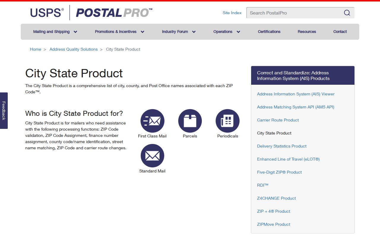
The postal reference helps check names and associations, while a live full-address lookup remains the practical test for a specific delivery address.
Wayne County Records After ZIP
After USPS establishes the delivery code, carry the address to the right government system. Wayne County Assessment & Equalization publishes annual assessment, building, legal-description, historical-map, and boundary data, but current assessment data belongs to the city or township assessor. Wayne County GIS can show parcels, roads, parks, and selected attributes. A map click produces a parcel candidate that should be checked against assessor and deed information.
The Wayne Treasurer portal provides free delinquent-property information by address or parcel identifier. It does not prove current title or present residence. The Register of Deeds online index reaches back to 1960 for recorded instruments and copies, with older county records in archival routes. Those sources answer parcel and title questions after the delivery address is normalized, not a ZIP-wide identity question.
For Detroit addresses, the city parcel viewer can be searched by street address or parcel ID and may display property address, taxpayer or owner fields, zoning, and council district. It remains a map resource rather than a certified title source. Outside Detroit, the municipality identified by the parcel record determines the local assessor and the next record route. Carry the parcel ID forward, because county and municipal systems do not always use the same labels.
Limits of Wayne County ZIP Searching
Michigan’s QVF public-record process uses defined government geographies, not a ZIP filter. Its request form can select a county, jurisdiction, district, ward, or precinct, with protected fields removed under MCL 168.509gg. The statewide street-address index maps an address to a city or township and precinct, but it is an administrative routing resource, not authority to publish a block roster.
Record a no-result carefully. An absent address may reflect a changed postal assignment, a different municipal record, a protected field, a coverage gap, or an input difference. Use the official custodian and a date-stamped query before drawing a conclusion. The postal clue is valuable because it narrows the next check, not because it identifies someone.